In January 2021 I attempted to fly the outline of the border of Victoria as accurately as possible using only traditional navigation techniques – no GPS, no following magenta lines on my iPad. Just a paper map, a pencil, and a few other analogue tools.
It was both a success and a failure.
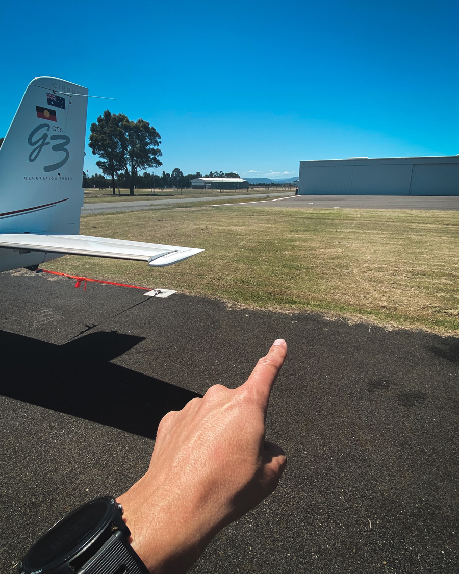
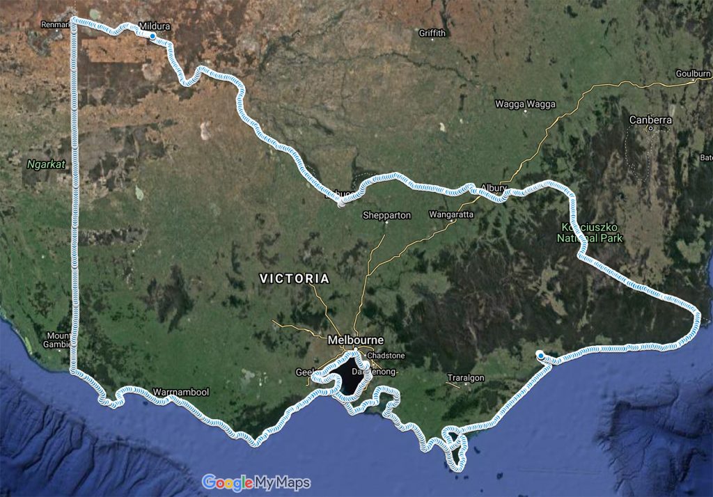
A success in that I did in fact manage to navigate the border without once using GPS tracks connected to the autopilot in my Cirrus SR22. Yet also a failure, in that I didn’t exactly fly the border to the level of accuracy I was originally hoping when planning this adventure. In fact at some points I went way off track, way waaay off track (we’re talking up to 20 kilometres here).
But judge for yourself – here is an interactive Google Map of the GPS track I flew so you can see how accurately I flew it. The border has been measured at just over 5000km but that takes into account every twist and turn of the Murray River, and every inlet and cove along the coastline.
To prepare for the flight I had to go back to some of my old navigation techniques when using a paper map. These included reminding myself how the 1 in 60 rule for drift correction (when you’re blown off track because of the wind) is calculated, plus dead reckoning – where you mark your location on a paper map periodically so you have somewhere known to come back to if you ever get lost (like a breadcrumb trail from Hansel and Gretel).
These traditional techniques often get forgotten in our modern day lives flying with GPS. Now don’t get me wrong I am a huge supporter of technology like GPS when it comes to aviation. It’s made flying simpler, safer, more efficient, less stressful and therefore a lot more fun for private pilots. But I took on this challenge to remind myself of the basics not just so I have something to fall back on if my technology ever failed, but also as a nod back to the pioneering days of aviation when navigating by signals sent from space was just science fiction.
Watch the ‘Fly The Border’ series
I flew the adventure over 3 days and filmed it for a series on YouTube. These videos feature footage from the aircraft, GPS overlays of the actual vs intended tracks, Air Traffic Control calls and more. I’ve made these for aviators and non-aviators alike, so even if you don’t have much of an interest in aviation but just fancy watching a fun adventure hopefully you’ll enjoy the series.
If you have any other questions about the trip let me know in the comments below and I’ll do my best to answer them for you.